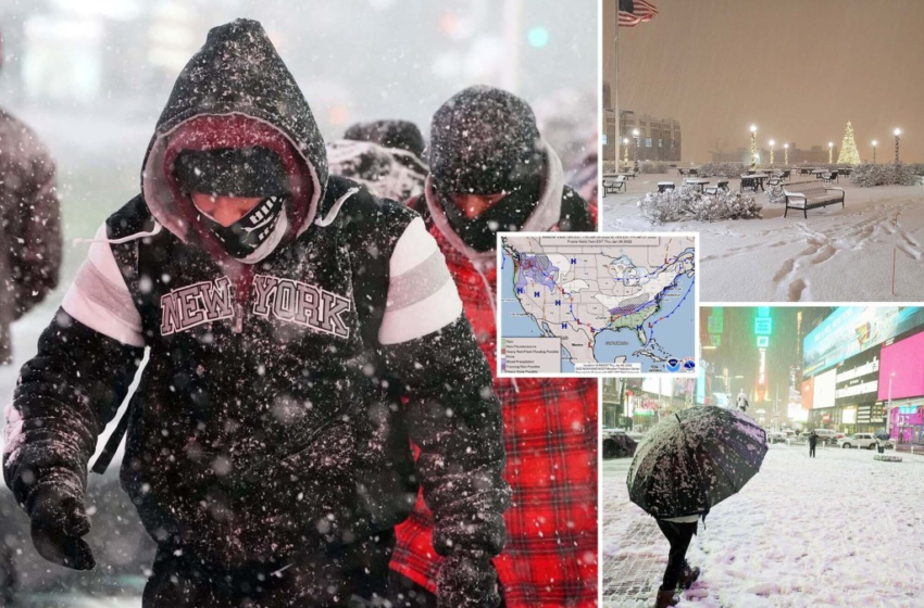
A quick-moving storm traveling into the Northeast could strengthen into the winter season’s first “bomb cyclone” on Friday morning — dumping up to 6 inches of snow in New York City, forecasters said.

The storm is expected to hamper the morning commute across the tri-state area, Accuweather.com reported, with some spots receiving a powerful burst of 1 to 2 inches of snow per hour.
Air travelers are also feeling the impact as more than 2,200 flights were canceled, including hundreds in the Northeast.


Locations under any intense snow bands could endure “a nightmare” commute, AccuWeather chief meteorologist Jonathan Porter said.
On Thursday, New Jersey Gov. Phil Murphy declared a state of emergency ahead of the storm.
In preparation for the upcoming winter storm, I’m declaring a STATE OF EMERGENCY beginning at 10:00 PM tonight.
We urge all New Jerseyans to stay off the roads, stay updated, and stay safe.
— Governor Phil Murphy (@GovMurphy) January 7, 2022


Snowfall totals along the East Coast ranged from 2 inches in parts of Maryland and Pennsylvania to as much as 18 inches in New York as of Thursday night. Totals are expected to increase as the storm continues to move through.
Pennsylvania officials delivered safety messages to residents as the state prepared for snow.
🌨 Stay safe, PA! Snow is expected in the commonwealth this evening.
🛑 Avoid driving on untreated and unplowed roads, if possible.
⚠️ Be prepared: Find the locations of plow trucks near you to see if your roads are safely plowed at https://t.co/p3efEg8RrJ. pic.twitter.com/0ajds2FkBt
— Pennsylvania (@PennsylvaniaGov) January 6, 2022
NYPD reminded commuters to prepare for the morning commute as the snow dropped on the city overnight.


Snowfall from the storm blanketed Tennessee and North Carolina before heading into the mid-Atlantic en route to the Northeast.
The nation’s capital was expected to see up to 3 inches of snow in its second winter storm this week, according to Accuweather.


5 AM Radar update: Snow continues across the region with a band of moderate to heavy snow crossing the Interstate 95 corridor. The snow intensity will then start to decrease through about 8 AM and also come to an end from west to east. #pawx #njwx #mdwx #dewx pic.twitter.com/kSnPXsZv6q
— NWS Mount Holly (@NWS_MountHolly) January 7, 2022
“The farther north you go, the bigger the snow accumulations,” AccuWeather chief video meteorologist Bernie Rayno told Reuters.
As the storm strengthens off the New England coast, it could evolve into a “bomb cyclone” — characterized as an intense weather event marked by a quick drop in barometric pressure that brings heavy precipitation and gusty winds.
With Post wires

