


NASA’s newest Earth observation satellite, Landsat 9, has taken its first photos of the planet from orbit, and they’re gorgeous as hell. It’s just a taste of what the new satellite will be capable of spotting—especially as the planet is set to undergo rapid environmental transformations thanks to climate change and expanded human development.
The first of the new images, taken on October 31, shows off mangrove clusters on the northwest coast of Australia, leading into the Indian Ocean. Others depict the city of Kathmandu, Nepal snuggled in a valley south of the Himalayan Mountains; the Navajo Nation situated in the Western U.S.; and the white sands of Pensacola on the Florida Panhandle. A total of nine photos were released over the weekend.
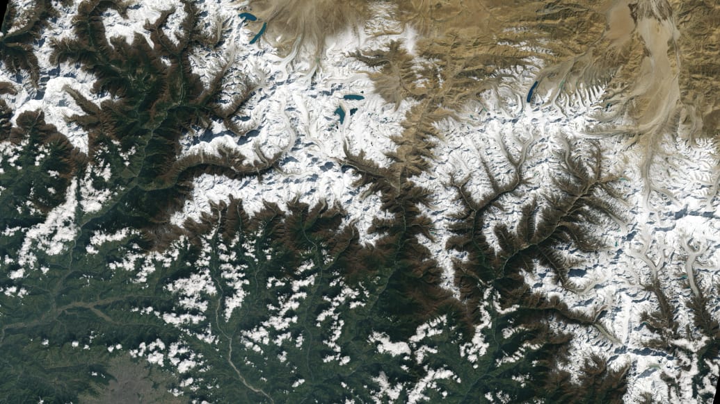
Kathmandu, Nepal, as seen at the bottom of the image, south of Himalayas.
NASA
The satellite, first launched on September 27 and jointly operated with the U.S. Geological Survey, replaces the aging Landsat 7, and is a huge upgrade in nearly every way. Landsat 9, for example, can study the planet in more than 16,000 shades of a single color of light, compared to just 256 for Landsat 7. The new satellite also boasts thermal radiation detectors, and can make observations in multiple near-infrared and infrared wavelengths.
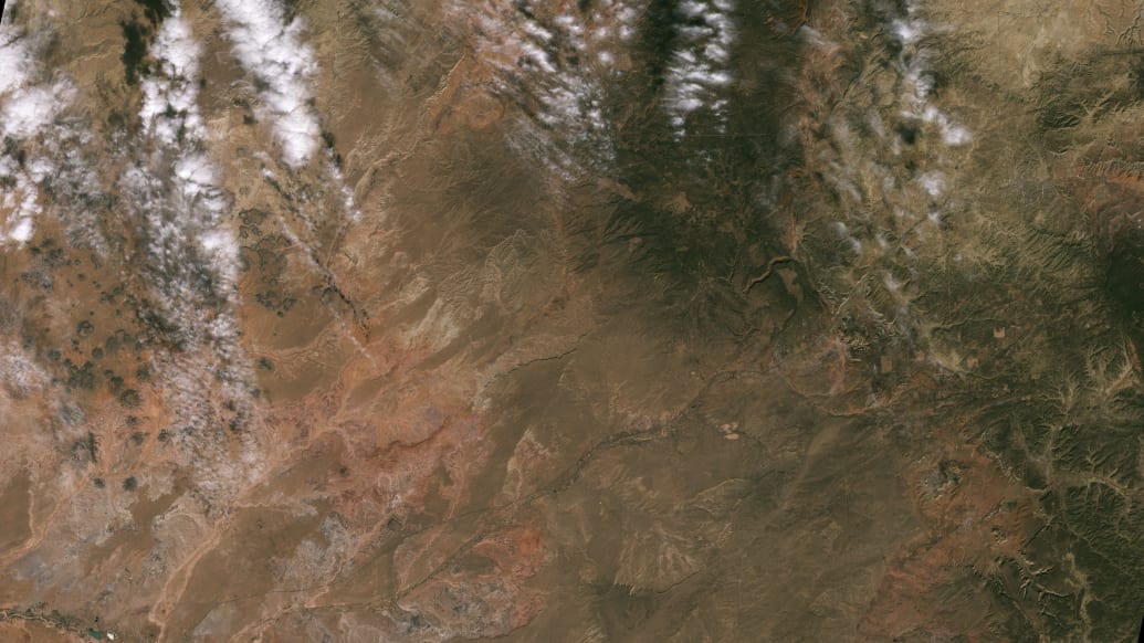
Navajo Nation as seen from orbit. Landsat 9’s data will be used to monitor drought conditions in southwestern U.S.
NASA
All of those new tools will be critical for helping communities below make informed decisions impacted by environmental changes—whether it’s the Navajo Nation trying to monitor drought conditions and manage irrigation systems, or cities on the Great Lakes getting an early warning on algal blooms, or coastline populations getting a heads-up for where floods are likely to strike. The satellite should begin normal operations soon, and its data will be publicly available for free.
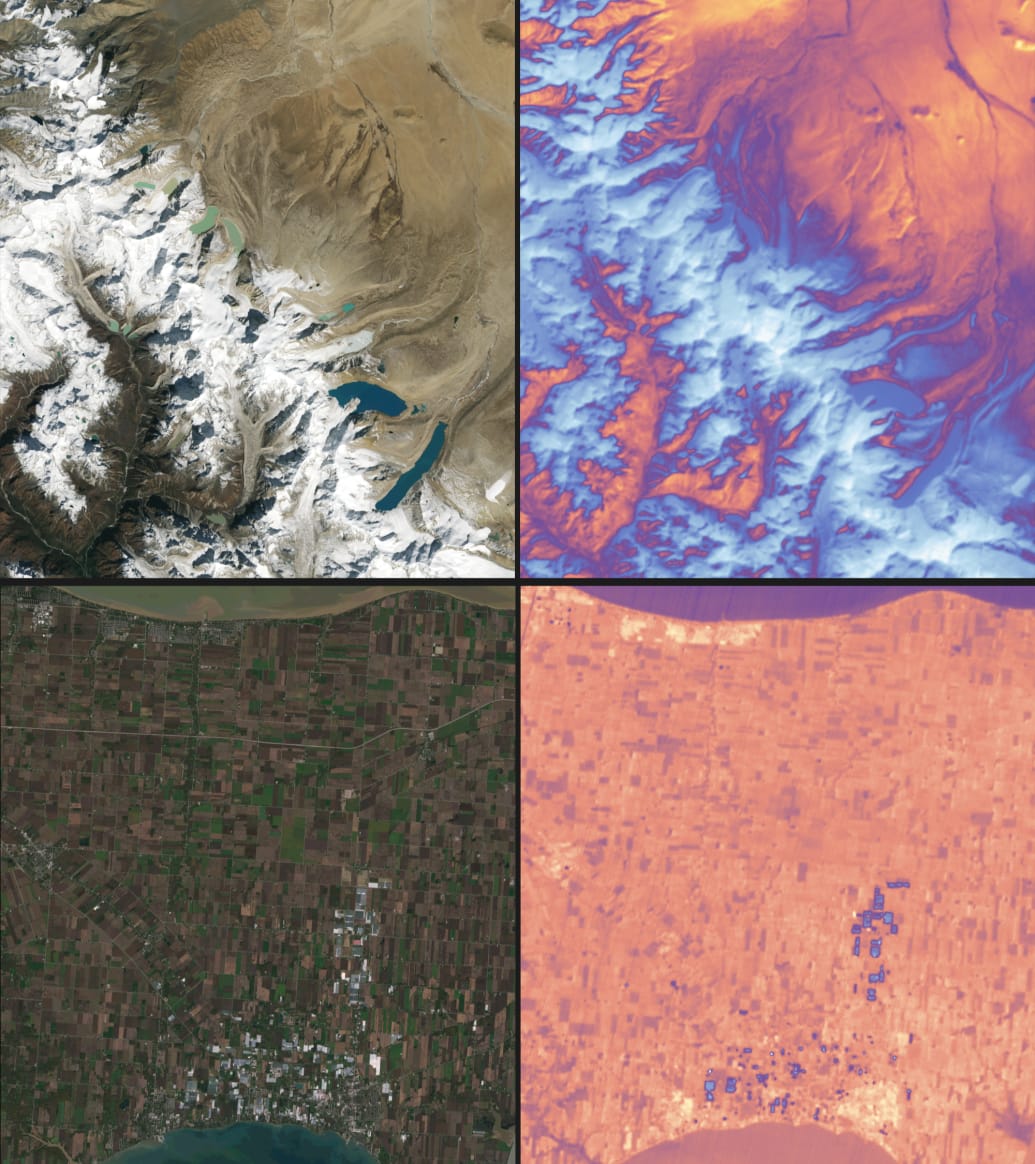
Landsat 9 is fitted with an array of new instruments that allow it to gauge temperature changes on the surface of the planet.