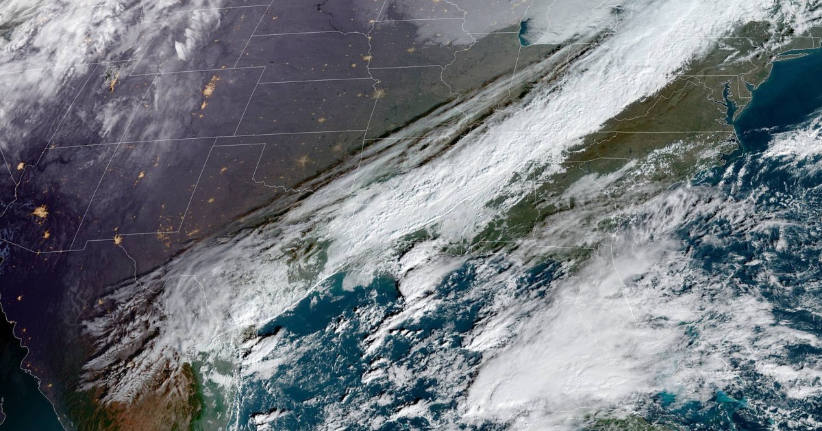
A stormy pattern is setting up just in time for the holiday week, with several storms on the horizon that will affect both coasts early next week.
With the storms still several days away, it’s too early for specific rain or snow totals, but meteorologists can start to get an idea of timing.
The storm system will develop Sunday over the Upper Midwest and Great Lakes before heading east. Snow will be possible for the Upper Midwest and northern Great Lakes while showers and thunderstorms will extend from the interior Northeast down through the Southeast.
Cities that could see weather delays on Sunday include Chicago, Detroit, Nashville, Pittsburgh and New Orleans.
By Monday, the storm system will reach the East Coast bringing heavy rain to the I-95 corridor from Washington to Boston. At the same time, heavy lake effect snow accompanied by strong winds will hit the Great Lakes region.
Cities that could see weather delays on Monday include Atlanta, Washington, Philadelphia, New York, Boston, Buffalo and Cleveland.
On Tuesday, the rain will be off the Atlantic coast, but heavy lake effect snow will continue. Some snow showers could even make it into other parts of the Northeast.
Bitterly cold temperatures and biting wind chills are possible from the Midwest to the Mid-Atlantic.
Meanwhile, the saturated Pacific Northwest won’t get much time to dry out as the parade of storms will continue into early next week.
First, one storm is set to affect the region this Thursday and Friday, but the good news is this storm won’t be as strong as the last one which caused significant flash flooding and river flooding.
About 1 to 2 inches of rain is expected across the region through Friday, then focus will turn to the next storm that will arrive just in time for the start of the holiday week.
This next storm system enters the region Monday and Tuesday, and will bring more rain for Oregon and Washington and several inches of snow to the Cascades.
Slow holiday travel is possible for the I-5 corridor and airport hubs like Seattle and Portland.
Before the holiday storms, parts of the East will first have to contend with roller coaster temperatures to end the current week.
A cold front headed east on Thursday will bring some light rain to the Ohio Valley and Southeast during the daytime hours and eventually to the I-95 corridor by Thursday evening.
But the real story will be the temperature tumble behind the sharp cold front.
On Thursday, temperatures across the east were forecast to be 5 to 15 degrees above average meaning in the 60s for New York and Boston and 70s for Washington and Atlanta.
By Friday, however, high temperatures will be a solid 20 to 25 degrees colder for those same locations, meaning highs more typical of November in the 40s and 50s.
Kathryn Prociv is a senior meteorologist and producer for NBC News.


